
Geospatial Data and Technologies Managment for Malaria Elimination
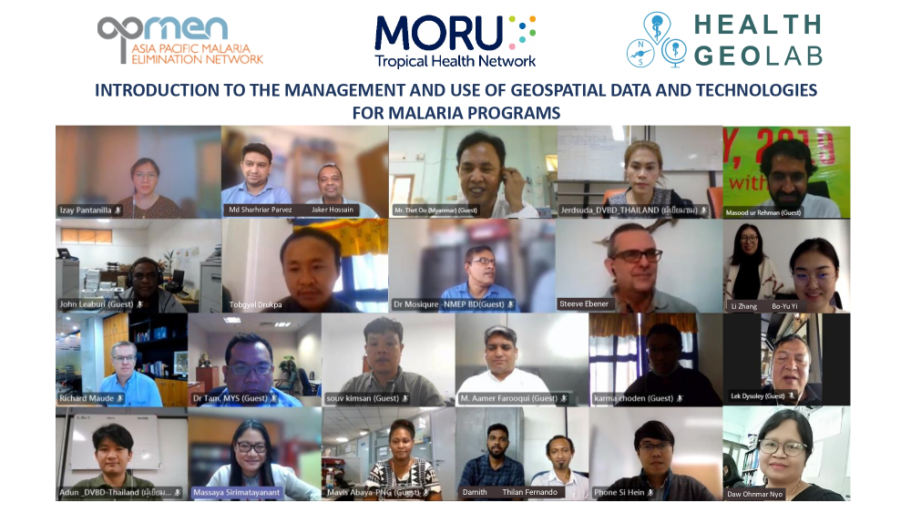
Through the Health GeoLab group at Mahidol Oxford Tropical Medicine Research Unit (MORU), the APMEN SRWG is hosting a series of online training titled “Introduction to the management and use of geospatial data and technologies for National Malaria Programs”. Identified by national malaria programmes (NMPs) as a priority training need in an assessment conducted by the SRWG in 2021, this training aims to:
- introduce the concepts and processes behind the making of a good thematic map,
- train participants to use open-source software to collect data and produce thematic maps, and
- guide NMPs towards geo-enabling their information system to support malaria elimination.
The course is facilitated by Health GeoLab’s Dr Steeve Ebener, Lead, and Neriza Pantanilla, GIS Analyst; and, Prof Richard J Maude, Head of the MORU Epidemiology Department and Co-Chair of the SRWG.
The training which targets NMPs welcomes 25 nominated participants from 13 countries and will be run from 17th to 26th October 2022. The MORU team will also be offering one-on-one technical support sessions for NMPs interested in discussing specific challenges and needs regarding the management and use of geospatial data and technologies.
A TechTalks webinar focusing on the use if geospatial data and technologies to improve accessibility of malaria services was also hosted on 11 October 2022. The webinar was opened by Dr Rattanaxay Phetsouvanh, Director General of Communicable Diseases Control, Lao PDR and Chair of the SRWG, moderated by Prof Richard J Maude, MORU, and featured the Health GeoLab team among key speakers.
“For malaria, prompt access to effective treatment is central for achieving elimination. Geospatial data and technologies are increasingly used to guide public health programs by analysing how easily health services are accessible to the population or optimizing the location of these services including the deployment of community health workers and allocation of LLINs. Applications for designing and targeting malaria interventions are still emerging, especially in our region” - Dr. Rattanaxay Phetsavanh
An introduction to how physical (geographical) accessibility to health care services is measured using GIS-based approaches was provided by Dr Steeve, complemented by Neriza’s description of various accessibility related indicators and how to measure them. At its core, their presentation highlighted the importance of data quality for this type of analysis as “no matter how advanced GIS technologies are, the outputs from their use are only as good as the quality of primary data used”.
While documented use cases for malaria is low, especially in the Asia Pacific, some case examples of accessibility analyses conducted in Sub-Saharan Africa were presented by Dr Peter Macharia, Senior Epidemiologist from the Population Health Unit at the Kenya Medical Research Institute (KEMRI), Wellcome Trust Research Program in Nairobi, Kenya. Case studies ranging from evaluating how easily populations can physically access care in urban centres, to impact of travel time on malaria hospitalization were shared.
Over 170 people from 40 countries attended this webinar. Click here to watch the full recording of the TechTalk.
In April 2022, the Health GeoLab group was established in the Epidemiology Department at Mahidol Oxford Tropical Medicine Research Unit (MORU), host institution for the APMEN Surveillance and Response Working Group (SRWG). The Health GeoLab group is a regional resource supporting countries in Asia and the Pacific with the geo-enablement of their Health Information Systems (HIS). It also aims to strengthen and sustain the technical capacity of the health sector in these countries in the management and use of geospatial data and technologies in public health.